Programme
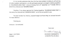
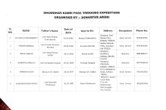
Dhumdhar kandi pass treking expedition(5490mt)2014
Brief Description of dhumdhar kandi pass
Grade:Difficult
Location: Uttarakhand
Altitude:5490 m
Duration:0 Days
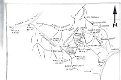
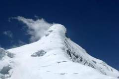
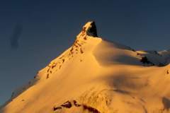
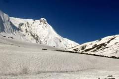
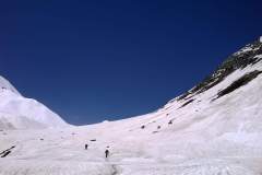
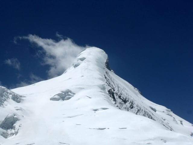
Dhumdhar Kandi Pass, locally known as the “Smoky Ridge Forest”, is a high altitude pass of 5490M / 18012Ft connecting the holy pilgrimage sites of Gangotri and Yamunotri in Uttarakhand. This mighty pass served as an ancient route for villagers from Uttarkashi and Gangotri to reach the remote Tons Valley. The unique aspect of this trek is the Kalanag (Black Peak) glacier and the glacier from Swargorohini and Bandarpoonch on either side of the Dhumdhar Kandi Pass feed the two mighty rivers of Bhagirathi and Yamuna. The pass is at the base of two renowned peaks of the Garhwal Himalayas, Kalanag and Swargarohini. Known for its complicated terrain and disposition along with unpredictable weather, the Dhumdhar Kandi Pass trek is meant for experienced trekkers only who are familiar with the use of ice axes, and microspikes along with a good physical and mental endurance. Known for its unexplored trail and challenging topography, the Dhumdhar Kandi Pass trek is an adventurist’s dream. The best season to undertake this trek is in the months of May, June, September, and October.
Brief Itinerary
Day 1-Dehradun to Sankri – 200km Drive
Day 2-Sankri to Taluka – 14 km Drive. Taluka to Seema (2560 M) – 12 km Trek
Day 3-Seema to Devsu Bugyal (3000 M) – 7 km
Day 4-Devsu Bugyal to Ruinsara Tal (3500 M) – 12 km
Day 5-Ruinsara Tal to Kyarkoti Base Camp (3900 M)
Day 6-Kyarkoti Base Camp to Dharon Odari (4500 M) – 6 km
Day 7-Dharon Odari to Camp 2 (5000 M) – 4 km
Day 8-Camp 2 to Ratiya Camp via Dhumdhar Kandi Pass (5490 M) – 6 km
Day 9-Ratiya to Kyarkoti (3525 M) – 9 km
Day 10-Kyarkoti to Dharian Gharat (3050 M) – 7 km
Day 11-Dharian Gharat to Jhala – 9 km
Day 12-Jhala to Dehradun – 220 km Drive
Sonarpur Arohi
Tags :
